August 8, 2026
Back to race calendar
Retezat Mountain Run ~ 2026
Rausor, Retezat Mountains, Hunedoara County, Romania
August 8, 2026
Hunedoara County
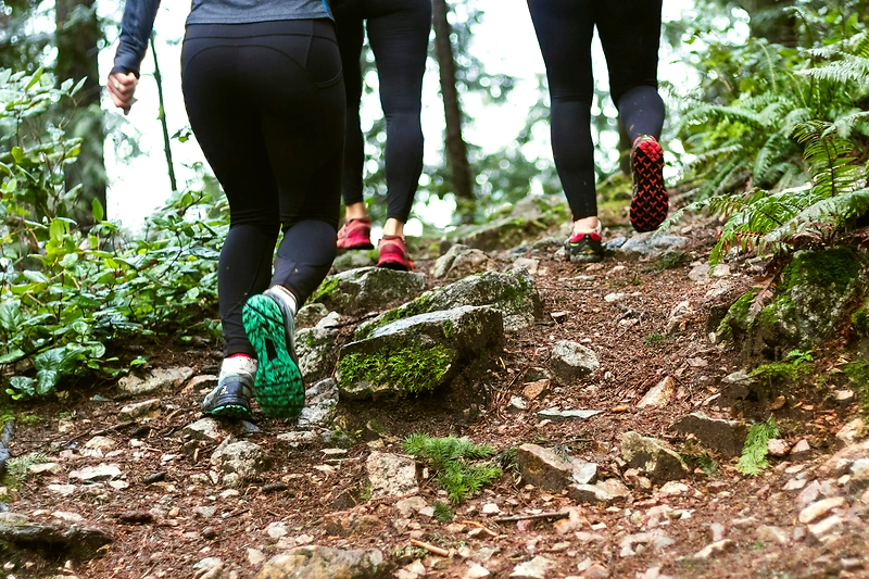
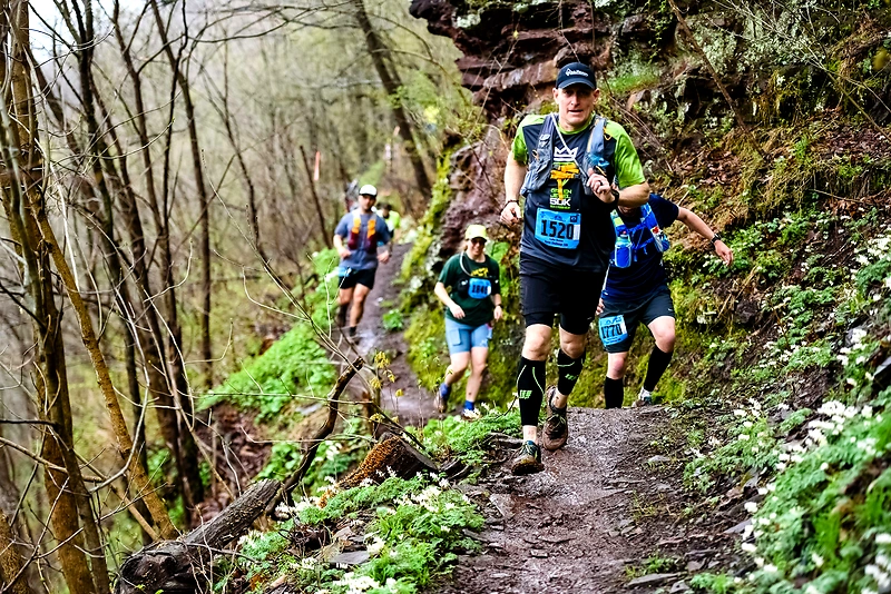
Trail
39.7 km
24.9 km
12.8 km
8.6 km
39.7 km, 24.9 km, 12.8 km, 8.6 km
Trail
Rausor, Retezat Mountains, Hunedoara County, Romania
Registration and pricing
Maraton
- 120 RON
120 RON – MARATON
- 190 RON
MARATON – 190 RON
- 220 RON
MARATON – 220 RON
Semimaraton
- 120 RON
120 RON – SEMI
- 170 RON
SEMIMARATON – 170 RON
- 200 RON
SEMIMARATON – 200 RON
Cros
- 120 RON
120 RON – CROS
- 160 RON
CROS – 160 RON
- 170 RON
CROS – 170 RON
Easy Run
- 100 RON
100 RON – EASY RUN
- 100 RON
EASY RUN – 100 RON
- 100 RON
EASY RUN – 100 RON
Race description
Retezat Mountain Run is a mountain running competition held in the Retezat Mountains, with routes ascending to the Retezat peak. The event offers four races with different difficulties and distances, from Easy Run of 8.5 km to a nearly 40 km Marathon with over 3300 m of elevation gain. The routes traverse wild landscapes, with support points in hard-to-access areas, and the organization relies on dedicated volunteers and mountain authorities. The event continues the tradition of Retezat Marathon, with a new team and a long-term continuity plan.
Highlights
- Mountain routes with significant elevation differences, up to 3340 m D+ at the marathon
- Support points in wild areas accessible only on foot or by air
- The marathon route passes near Lake Bucura, the largest glacier lake in the country
Additional information
Registrations and kit distribution are on Friday between 15:00-23:00 and Saturday between 6:00-9:00 at Apres Ski, Râușor ski resort base. There is a technical briefing and a Pasta Party before the race. Mandatory equipment includes mountain running shoes and windstopper/ rain gear. The routes are marked and supervised, and runners must manage their nutrition and hydration between support points. It is recommended to leave the car in the parking lot at the end of the asphalt, a 10-minute walk to the start. Routes with large elevation differences, difficult mountain terrain, limited support in certain areas, and mountain weather conditions should be taken into account.
Explore more races
Similar races
More races with similar distance, type or nearby location.